These are photos of a canoe trip from Burke Rd. to Chandler Highway in March 2008.
1. 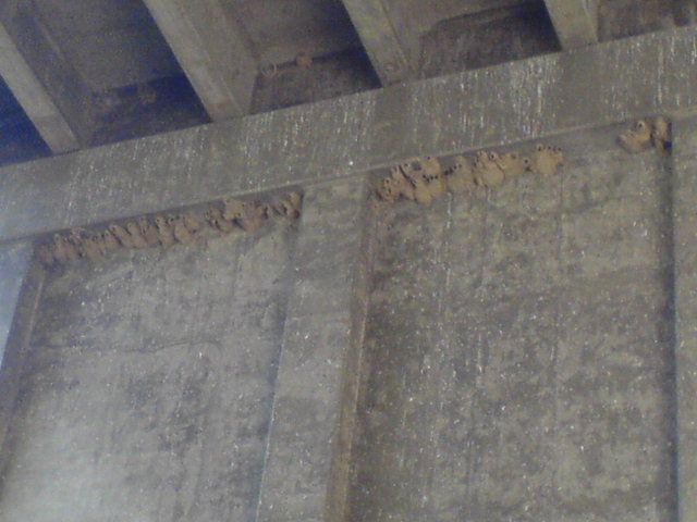
swallow nests under Burke Rd. bridge.
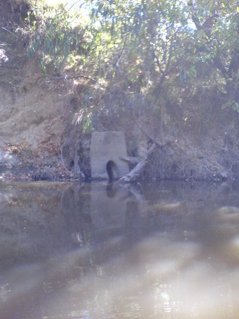
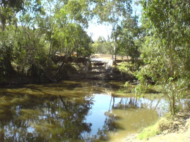
2. 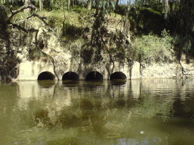
Drain from Burke Rd billabong - and before the MMBW concrete cover area.
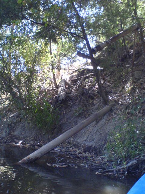
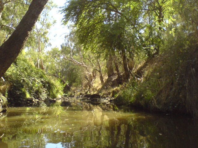
3. 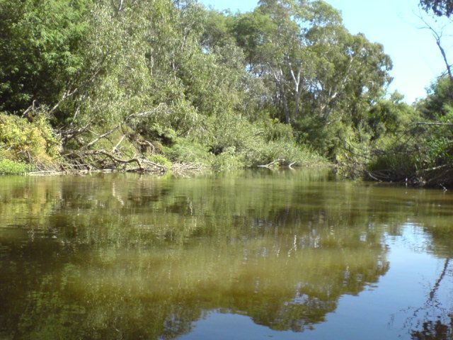
lots of LWD (large woody debris) near burke rd billabong.
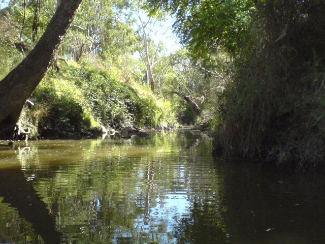
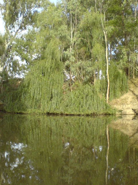
4. 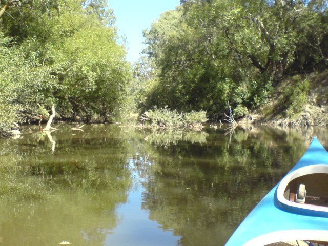
A willow growing in mid stream.
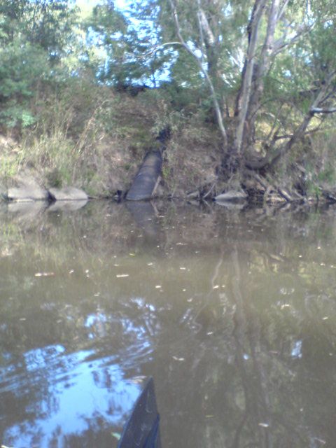
5. 
a Drain from a golf course on the north bank.
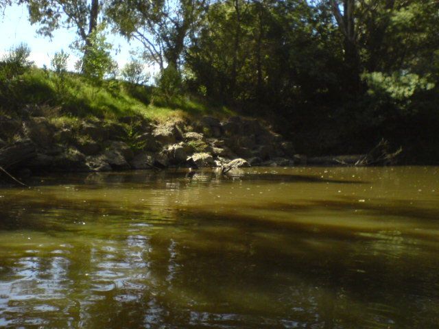
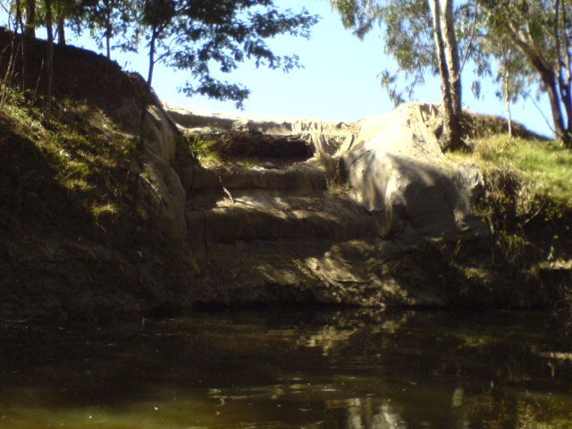
6. 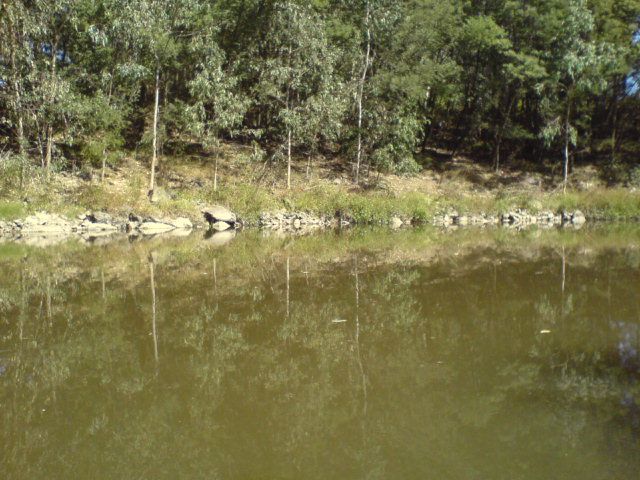
The river has had rocks placed on water line to stop erosion
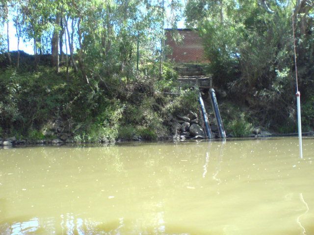
7. 
A golf course pumping from the river.
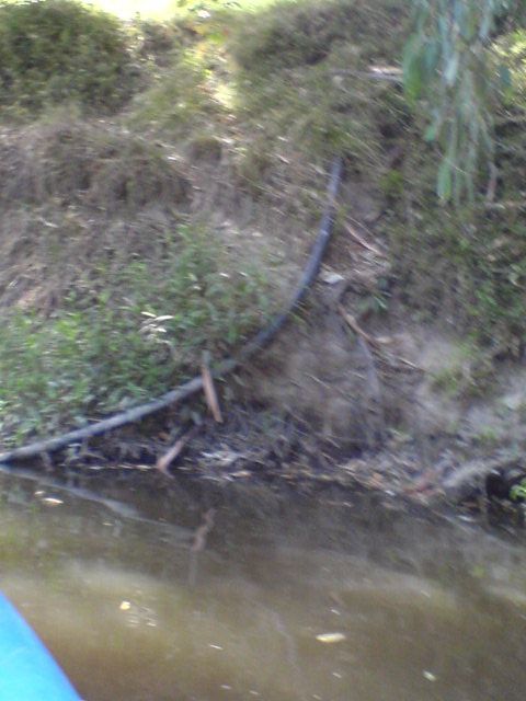
8. 
another Drain from a golf course.
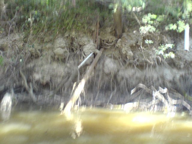
9. 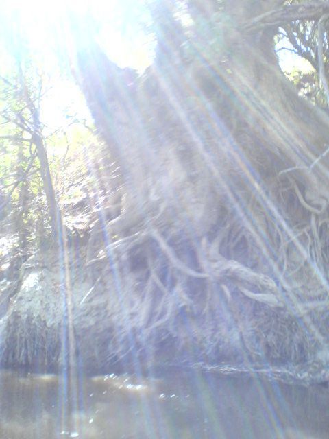
River red gum roots exposed
10. 
reveg on a golf course bank.
11. 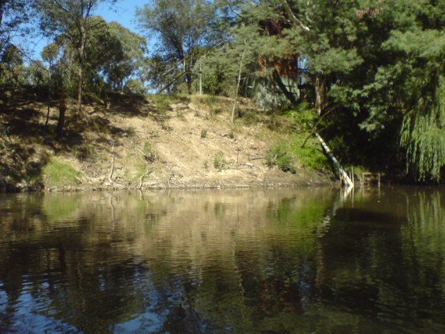
a bare bank.
12. 
an old creek on a golf course on the south bank.
13. 
an island composed of rubble blocking the stream.
14. 
kids swimming at wilson reserve.
15. 
earth works on a golf course.
16. 
Houses on the Boulevard Ivanhoe, just after Wilson Reserve.
17. 
More Houses on the Boulevard Ivanhoe, just after Wilson Reserve.
18. 
Canoe shed at a House on the Boulevard Ivanhoe, just after Wilson Reserve.
19. 
same
20. 
More drains, just after Wilson Reserve.
21. 
Darebin Ck. junction.
22. 
Darebin Ck. junction.
23. 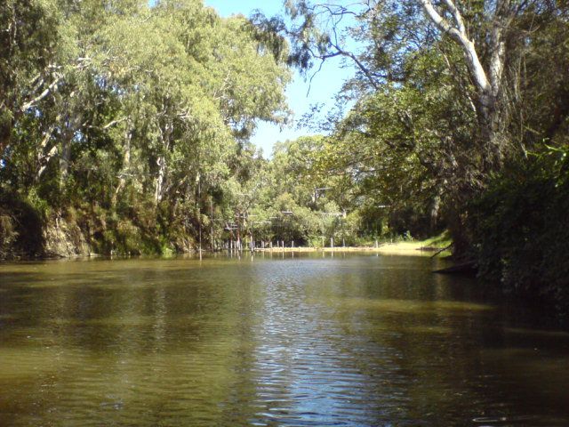
Canoe slalom course established by Olympic canoeists about 20 years ago.
24. 
canoe slalom course from downstream.
25. 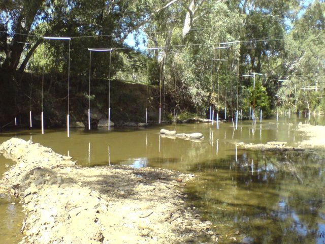
Railway sleeper, tyres and earth works belonging to Canoe slalom course.
26. 
Another pump house.
27. 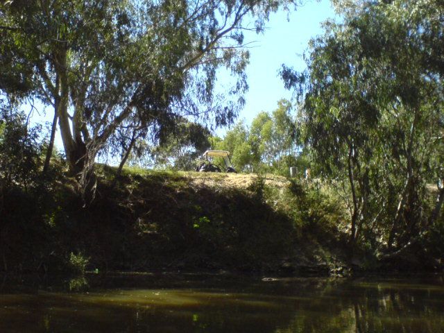
A golf buggy on bank.
28. 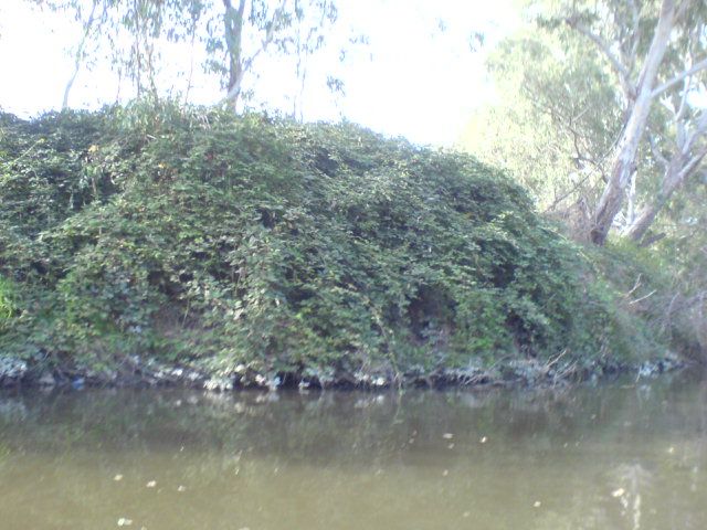
blackberries just north (upstream) of Willsmere Billabong.
29. 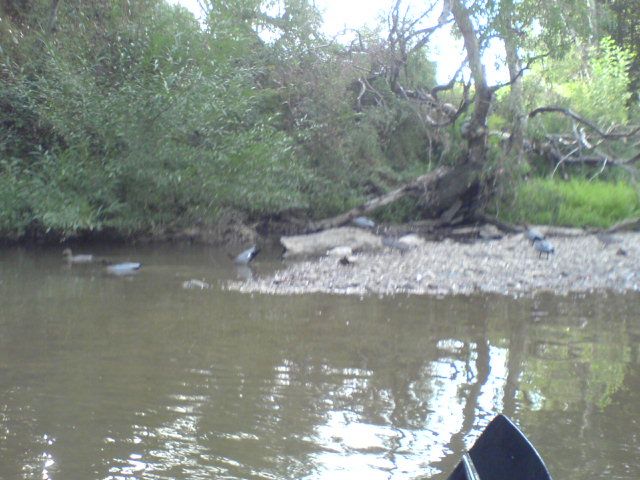
woodducks (slightly out of focus) on a sandbar (upstream) of Willsmere Billabong.
30. 
The earth works from the other side of the horseshoe bend.
31. 
a golf course drain just north (upstream) of Willsmere Billabong.
32. 
a big willow on the golfcourse just north (upstream) of Willsmere Billabong.
33. 
Willsmere Billabong 'peninsula' swimming hole.
34. 
The earth works from Willsmere peninsula.
34. 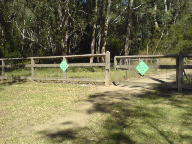
fencing at Willsmere Billabong conservation area.
36. 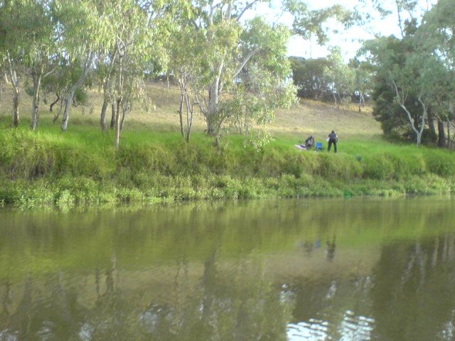
A fisherman on the straight section next to the freeway.
37. 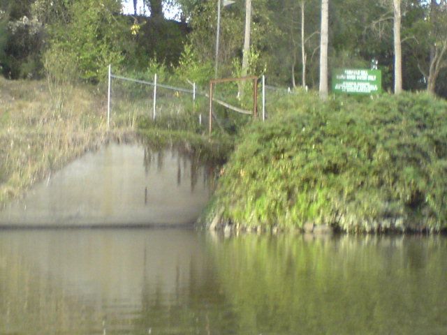
The warm water outlet at Amcor. (slightly out of focus)