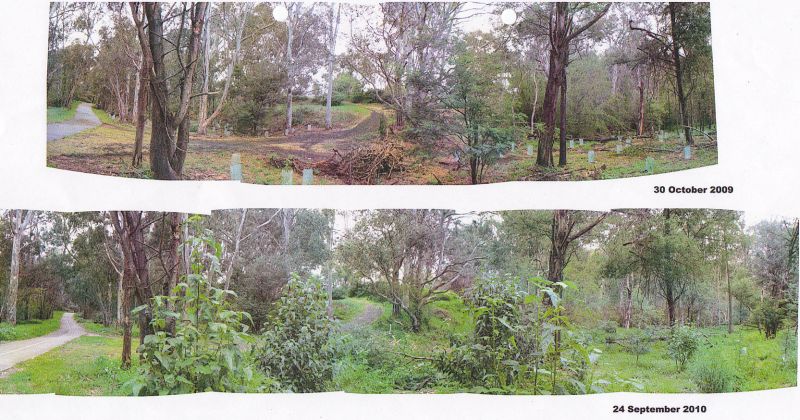
Panorama of 2008/9 planting areas
Panorama of 2008/9 planting areas with 2008 on the left and 2009 on the right

<i>Tradescantia albiflora</i>- looking pretty but killing off all other ground cover.
Trad Tradescantia albiflora
- looking pretty but killing off all other ground cover.
© Carolyn Edwards 2008

<i>the area freed of Trad and planted.
2010 - the area freed of Trad and planted.

a kookaburra on the lookout
On the lookout
© Carolyn Edwards 2008

a kookaburra with a juicy worm for a snack
A juicy worm for a snack.
© Carolyn Edwards 2008


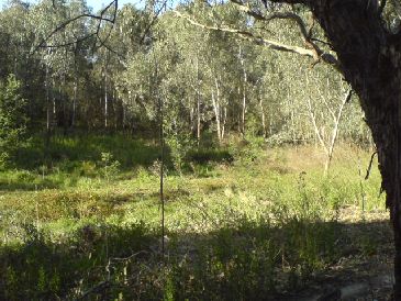
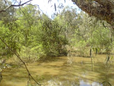
The billabong from the same point; 2005,2008 and 2010.
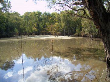
the billabong in 2005
2005
the billabong in 2008
2008.
the billabong in 2010
2010.

Photos made available from a private collection for this site.
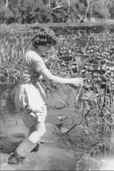
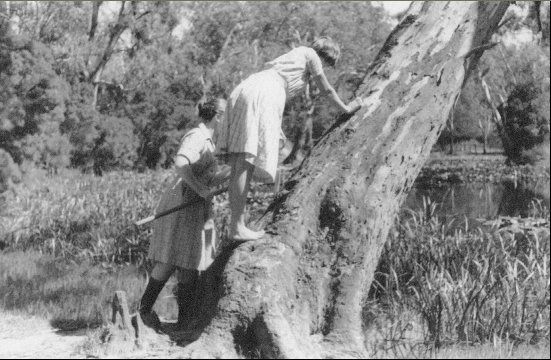
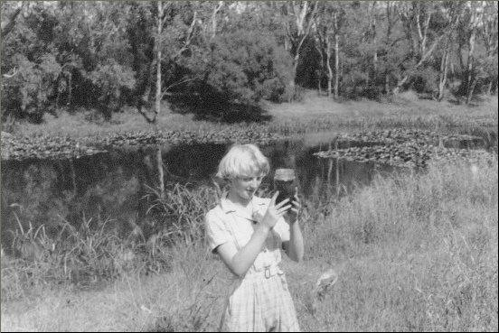
Sampling water in 1960s.
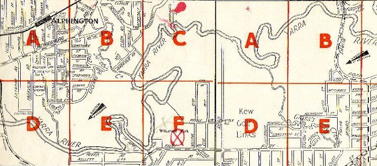


Map of East Kew 1950s.
Street Directory of East Kew in 1950s. Burke Rd. Bridge was then west of the the current bridge.
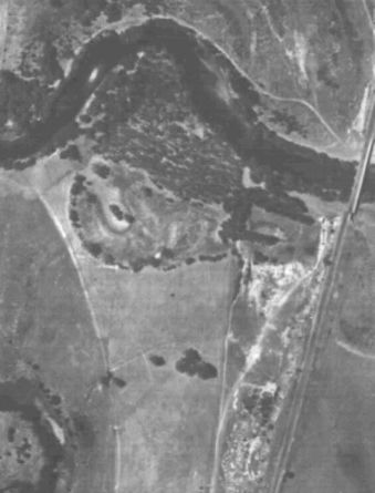
Aerial photo of East Kew 1945.
Aerial photo of East Kew 1945. Accessed at
Melbourne University Aerial photo collection
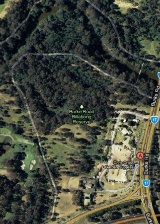
Aerial photo of East Kew 2011.
Google maps aerial photo of East Kew 2010.


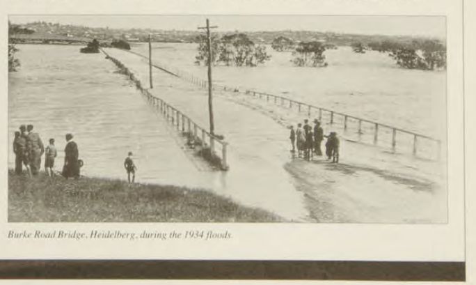
1934 flood at Burke Rd.
1934 flood at Burke Rd. Bridge, (Heidelberg). From MMBW Journal.

Valid HTML 4.0 Transitional

BURKE RD. BILLABONG MAIN PAGE